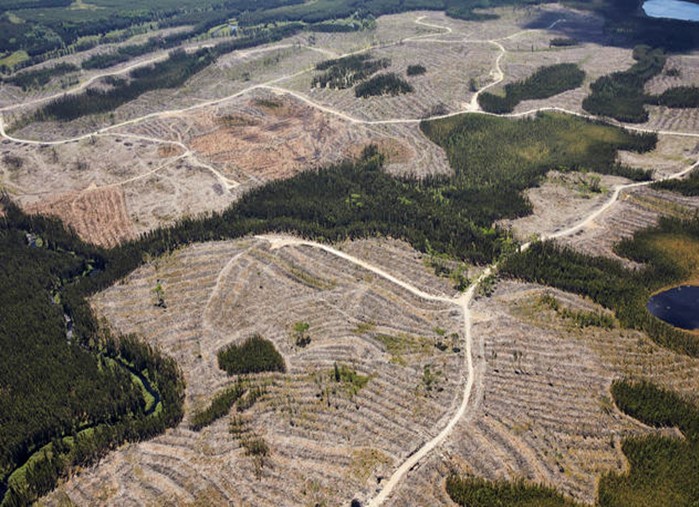
Improving and maintaining vegetation resource inventory (VRI) data is one of the many roles of the Forest Analysis and Inventory Branch (FAIB). To assist FAIB with this task, Caslys developed an increasingly efficient approach to detect and delineate harvest boundaries.
While VRI spatial data is updated for harvesting annually via corporate systems, there exists a time lag between those submissions and the publishing of the updated version of the VRI. To bridge this gap, a temporary spatial layer of harvest boundaries is created to ensure that up to date harvest boundary information is readily available for strategic analysis and planning purposes.
In the past, the creation of this layer has involved a semi-automated change detection process using multitemporal Landsat imagery, ArcGIS and eCognition developer. The change detection method utilized by Caslys was based on two important changes in the satellite signals of forest cut blocks:
-
Multispectral reflectance from Sentinel-2: a decrease of greenness as “green” trees were replaced by “grey” bare soil;
-
Backscatter from Sentinel-1: a decrease of backscatter as surface and volume scattering from tree branches and leaves was converted to diffuse scattering from bare soil.