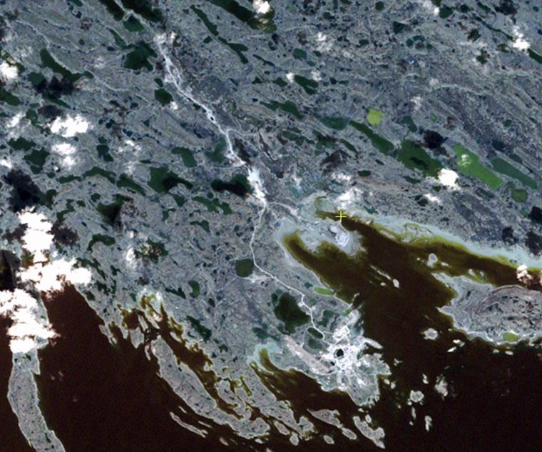
To inform wildlife management and sustainable industrial development in the Kivalliq region of Nunavut, Caslys developed a baseline Ecological Land Classification (ELC) for the Government of Nunavut’s Department of Environment.
The baseline ELC was derived using multi-spectral remotely sensed imagery and maintains land cover attributes such as vegetation and landform characteristics. The extraction of land cover attributes from satellite imagery is particularly challenging in northern Canada, due to the region’s unique vegetation types and diverse landscape characteristics. Caslys developed a process that accounts for the unique habitats and landscapes of northern Canada, maintaining high standards for image classification and accuracy.
The ELC dataset provides valuable spatial information that now informs environmental management (e.g., wildlife habitat research, vegetation mapping, and adaptive management planning) in the Kivalliq region. The success of the Kivalliq ELC has initiated subsequent ELC analyses for other regions in Nunavut with the intention of territory-wide coverage.