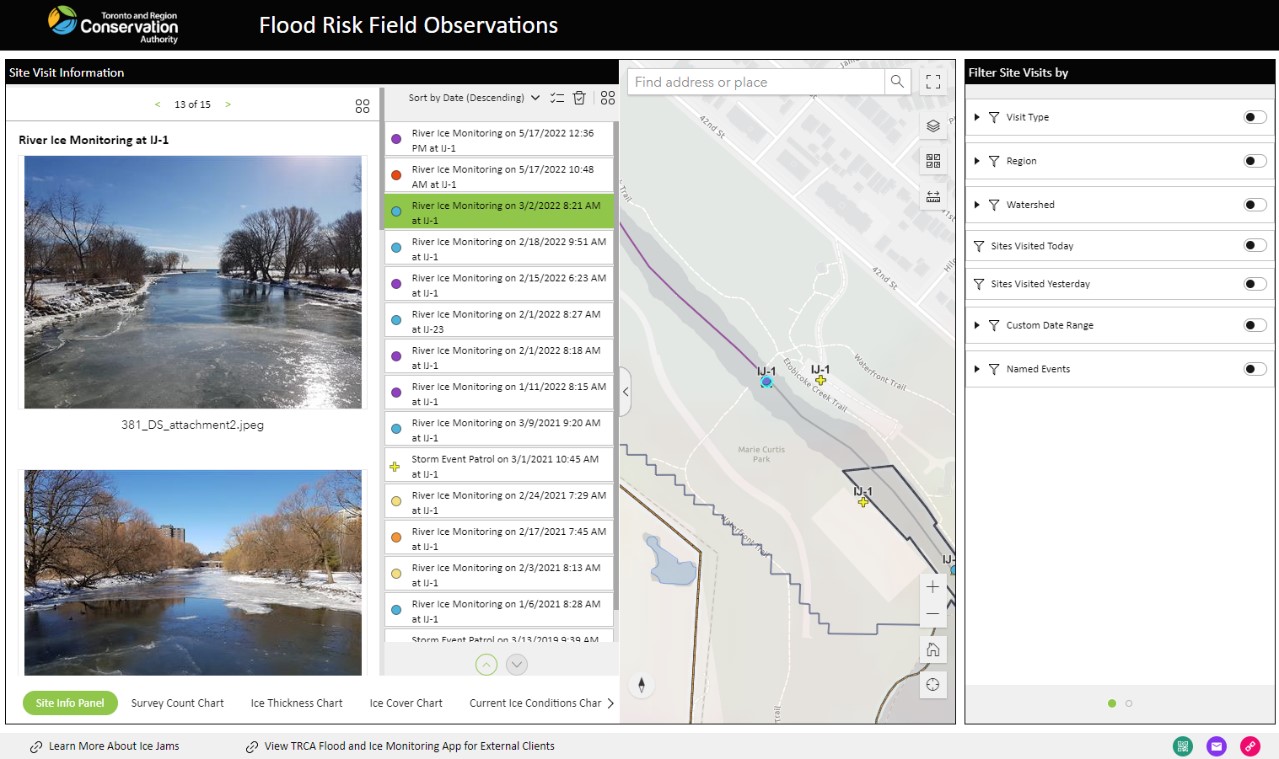
Caslys supported the Toronto and Regional Conservation Authority (TRCA) with the design and implementation of field and office data management tools related to the monitoring and reporting of river conditions in nine watersheds within the City of Toronto, and Regions of Durham, Peel, and York. The project included the design and creation of the following components:
-
Mobile field data collection tools that assist with navigation and digital recording of observations to support various field operations such as flood monitoring or ice and debris observations, including photos and UAV / drone video footage;
-
Protocols to synchronize field data within the enterprise GIS database to enable mapping and decision support tasks;
-
Web mapping viewers and data filtering tools to allow TRCA staff and municipal stakeholders to access recent and historical field observations with a particular focus on emergency support;
-
Development of reporting tools that automatically compile recent field data to populate templated reports for internal review and distribution to stakeholders.