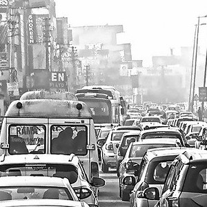
There was a fair bit of press given to the impact that COVID-19 isolation or lockdown had on air quality in China and northern Italy – two places hard hit by this pandemic and also two places with particularly poor air quality due to industry, transportation and to some extent geography. As our Caslys team began working remotely from home, we wondered how air quality was being impacted here in Canada. So, we leveraged our earth observation skills and tools that we typically use to monitor the Earth’s surface and ventured into the atmosphere. We downloaded data from the Sentinel-5P Troposheric Monitoring Instrument to replicate what we saw in the news overseas. The focus was on nitrogen dioxide (NO2) that comes in large part from the combustion in our cars or the burning of fossil fuels for energy or industry. The Sentinel-5P satellite is able to map a variety of other parameters (listed in the website screen capture above), which may have applications for all sorts of air quality monitoring, but we focused solely on nitrogen dioxide to satisfy our curiosity. To avoid some of the seasonal variation, we plotted the average NO2 concentrations for the period when our local isolation began and the same seasonal range from one year earlier (March 2019 compared to March 2020). We also checked May 2020 to see if the lockdown is still influencing air quality. We looked into a couple of hotspots near Prince Albert, Saskatchewan and found that forest fires were the cause of lower air quality. We plotted the results over the National Geographic basemap service to see the hotspots and the generally improved air quality during isolation. In the images above, the highest concentrations of NO2 in the atmosphere are shown in purple – fading to orange and yellow. The […]
Continue reading