Featured Article
2026 Caslys Consulting Calendars download
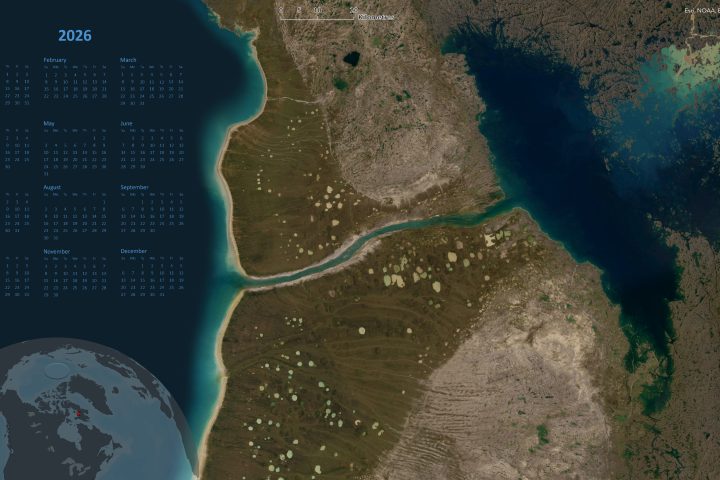
Happy New Year from Caslys Consulting Ltd! Below are links to 3 different digital calendar backgrounds created by Caslys Consulting Ltd! Our team at Caslys thought that a fun way to kick off the new year and express gratitude towards all of our customers / cartography enthusiasts would be to share some eye catching satellite imagery calendars. Feel free to download all 3 as well as the monthly versions and let us know which ones are your favourite! Full year calendars: Monthly calendar: About Caslys For over 20 years, Caslys Consulting Ltd. has taken pride in offering a wide range...Continue reading→

Caslys News covers a range of topics, from technical advancement to geospatial interests. Check back often to view our staff picks!
More from Caslys
Golf FORE KidSport Fundraising Event: A Record-breaking Success!
Earlier this month, KidSport Greater Victoria hosted the Golf FORE KidSport fundraising event – and it was an outstanding success! After so many months of not being able to participate due to the pandemic, more and more kids are finally getting back into sports. This...Continue reading→
LidarBC: A New Open Data Portal for LiDAR
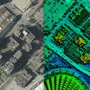
Over the past several years, the Province of British Columbia has made significant investments in LiDAR and has now released provincial LiDAR collections known as LidarBC under the Open Government License. This data is now freely available for anyone to download and use via the...Continue reading→
COVID-19 Isolation and Air Quality in Canada
There was a fair bit of press given to the impact that COVID-19 isolation or lockdown had on air quality in China and northern Italy – two places hard hit by this pandemic and also two places with particularly poor air quality due to industry,...Continue reading→


